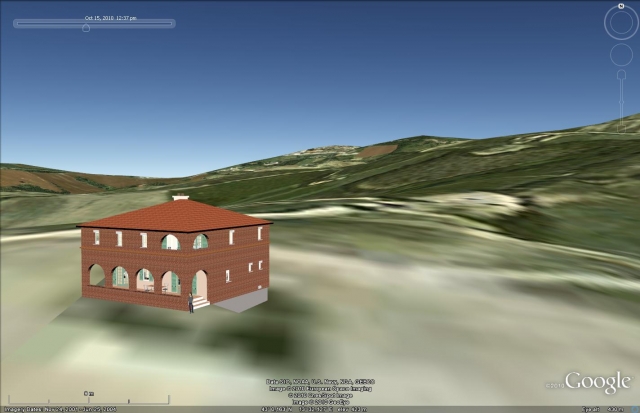
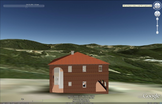
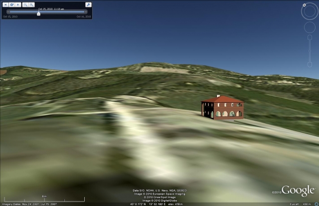
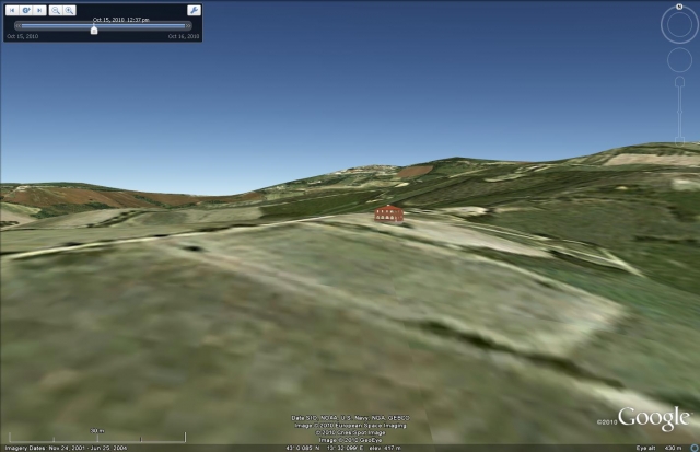
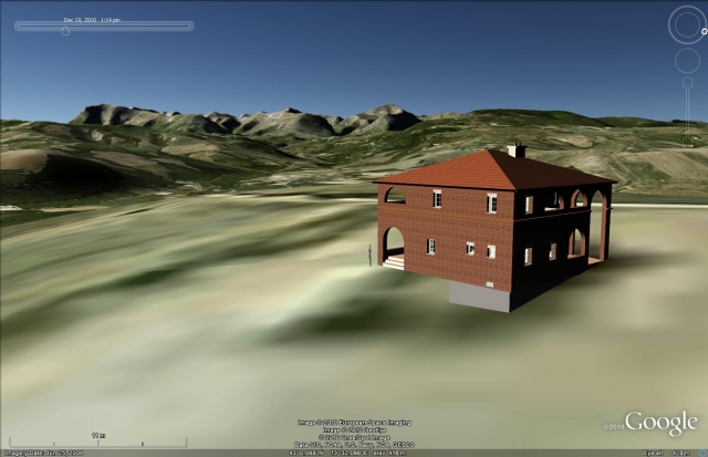
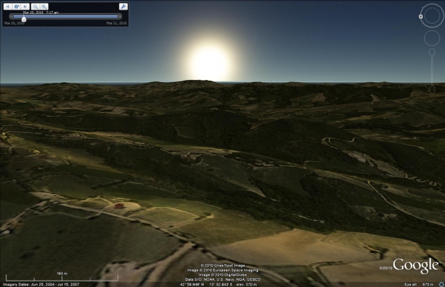
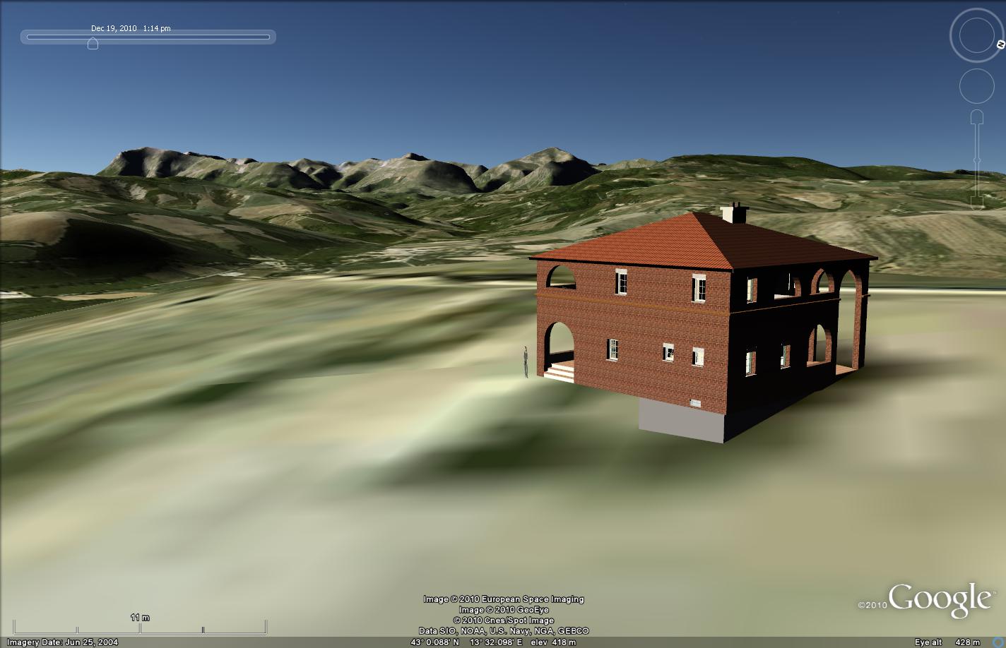
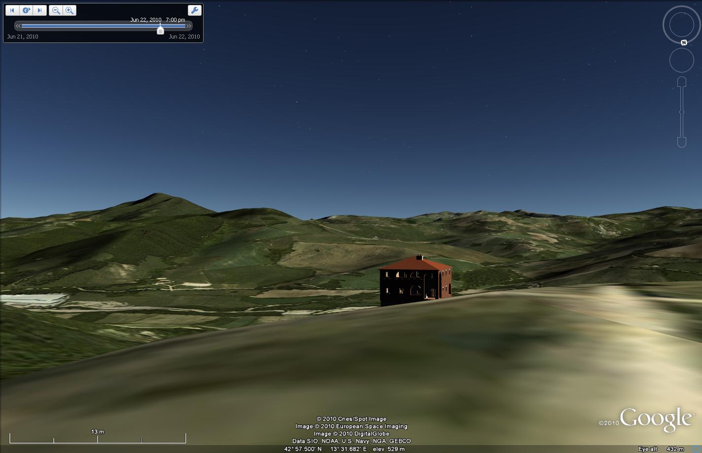
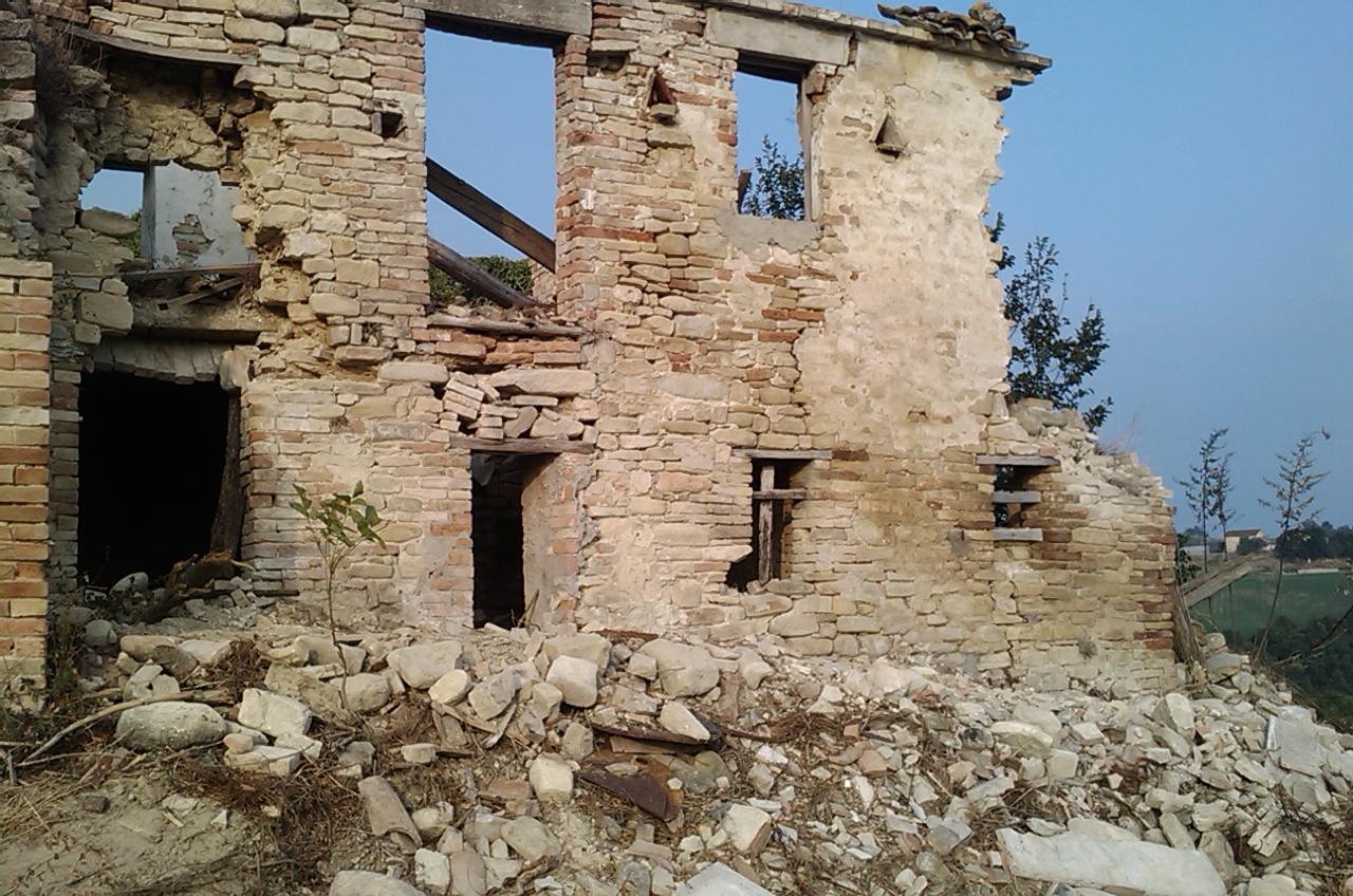
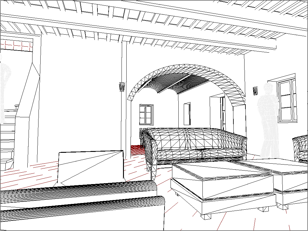
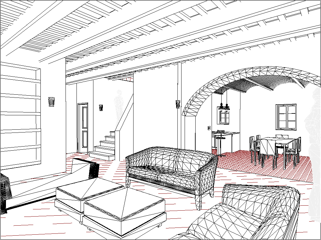
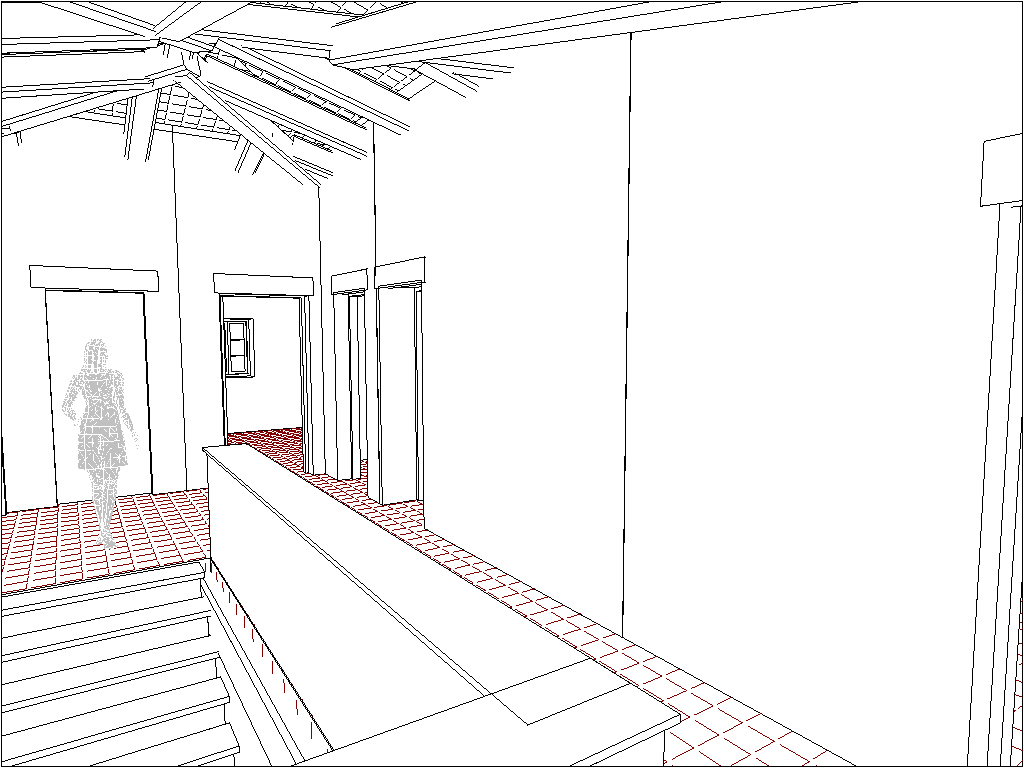
Questi immagini da “Google Earth” mostrano la casa proposto sul terreno reale. Ho desegnato il progetto iniziale con TurboFloorPlan3D e poi ho esportato il modello su .3ds in modo che Google Sketchup avrebbe inserito il modello sul terreno.
Come? Clicca per vedere
These google earth images show the proposed house on the real landscape. I designed the initial plans with TurboFloorPlan3D and then I exported them to .3ds so that Google Sketchup could place the model onto the Google Earth landscape.

